Scanning the earth, exploring resources
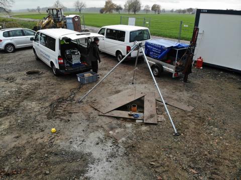
Seismic exploration methods play an important role in imaging the Earth's interior. They cover a wide range of applications on different scales:
- Mineral resource exploration
- Characterisation of geothermal deposits
- Investigation, characterisation and monitoring of potential repositories (CO2 injection; nuclear repositories)
- Investigations into geodynamic processes within the Earth's crust and mantle (fault systems, subduction zones, etc.).)
- Exploration and characterisation of hydrocarbon deposits
- etc.
Research
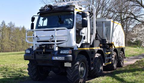
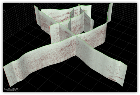
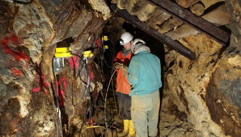
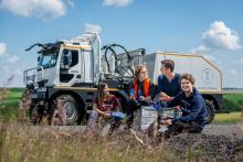
In research the focus of the Seismology and Seismology group is on the development and application of seismic imaging, inversion and modelling techniques for both active and passive excitations. Our activities cover the entire spectrum of seismic data acquisition, from data recording to the interpretation of results.
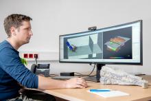
In addition, the affiliated Berggießhübel Seismological Observatory has been continuously recording local and global earthquake data since 1966. These data are continuously analysed and form an integral part of the global seismological monitoring network.

In addition, the affiliated Berggießhübel Seismological Observatory has been continuously recording local and global earthquake data since 1966. These data are continuously analysed and form an integral part of the global seismological monitoring network.

Earthquake monitoring at schools
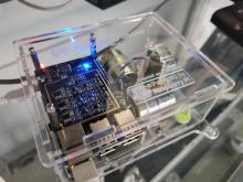
Would you like to operate your own seismometer at your school and integrate it into physics and geography lessons? We are at your disposal for further information or enquiries. Contact us!
