- Home
- University
- Faculties
- Faculty of Geosciences, Geoengineering and Mining
- Institutes
- Institute of Geophysics and Geoinformatics
Image
Hlousek
Unravelling the secrets of our earth - geophysics and geoinformatics
In research and teaching, we focus on the continuous development and application of advanced methods that enable us to explore and characterise structures and processes in the Earth's interior. Our efforts are aimed at gaining a deeper understanding of geological processes and the physical properties of rocks and materials in the Earth's interior. We are committed to developing and applying innovative techniques to advance the geosciences and deepen our knowledge of the dynamic nature of our planet.
Working groups
Geophysics: Innovative methods for exploring and utilising the earth
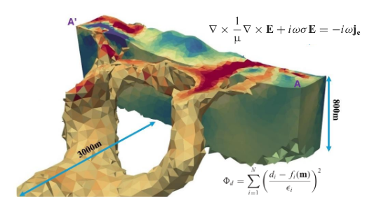
In geophysics, our focus is on applied methods for exploring the Earth's interior from the surface to depths of around 100 kilometres. To this end, we develop advanced numerical simulation methods as well as imaging and inversion algorithms for electromagnetic fields and seismic waves. These methods play a crucial role in the exploration and development of natural resources and reservoirs, including mineral resources, geothermal reservoirs, oil and gas, drinking water and monitoring.
Through this research, geophysics is making a significant contribution to the development of solutions for the current challenges of our time.
Image
Crispin-I. Mokry
Geomathematics and geoinformatics: Mathematical models and data analysis in the geosciences
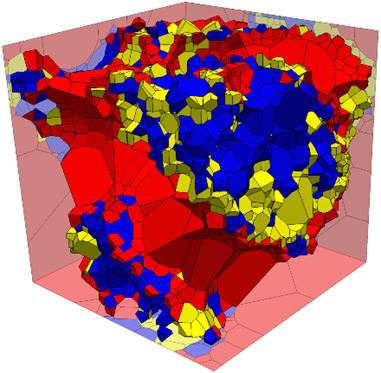
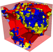
In geomathematics and geoinformatics, our main focus is on the mathematical modelling of inverse problems in the geosciences. We develop advanced numerical methods for analysing and processing corresponding data. We pay particular attention to potential field data, such as those found in gravimetric or geomagnetic satellite data. Our research focuses on the analysis of these data and on the development of approximation and inversion methods for the potential fields and the underlying parameter distributions in the subsurface, such as density or magnetisation.
In addition, we are dedicated to the creation of models for temporally and spatially referenced, multi-dimensional geodata.
Image
Menzel
State-of-the-art measuring devices and equipment at the institute
Image

T. Möbius
Seismological observatory
Since the start of continuous seismic recording in 1966, the Berggießhübel observatory has been an important base station in the global seismological monitoring network.
Image
Crispin-I. Mokry
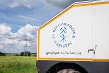
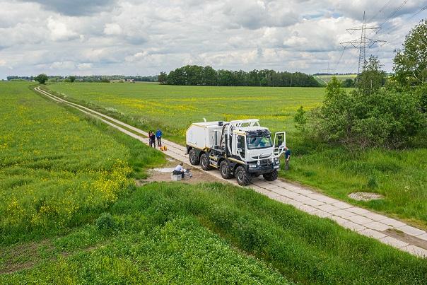
Vibroseis truck
TUBAF is the only university that operates its own vibroseis source of this size for seismic measurements.
Image
Crispin-I. Mokry
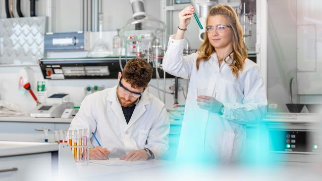
Petrophysical laboratory
In our laboratory, we carry out measurements and experiments to characterise the physical properties of samples and determine changes in them.
Image

TUBAF
3D printer
The 3D printer enables us to transform digital three-dimensional geomodels into tangible objects.
From the beginnings to today: the development of our institute
Since our foundation on 1 October 1940 as the first Institute for Applied Geophysics in Germany, we have grown into an internationally relevant and lively research institute. We focus in particular on the analysis and simulation of geophysical data and the development of methods in seismics, seismology, electromagnetics, magnetics, gravimetry and geoinformatics. We offer a combined BSc programme in Geoinformatics and Geophysics, which can then be continued in the MSc programme as either Geophysics or Geoinformatics.
A detailed description of the development of our institute can be found in the download.
News
News
Freiberg textbooks of the geoscientific disciplines
Events
Upcoming Events
There are no events here yet. Check back later!
