Understanding and representing complex spatial phenomena
Image

Gerhards
Geomathematics
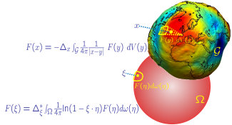
In general, Geomathematics is interested in the development of mathematical methods and tools to support geophysics and geosciences in the whole. This includes modelling of fundamental problems, their mathematical analysis as well as developing numerical solution strategies. Our work group focuses on:
- inverse problems in geophysics, especially potential fields
- approximation and interpolation methods on the sphere and other geometries
- spatial modeling of multivariate data
Image

Menzel
Geoinformatics
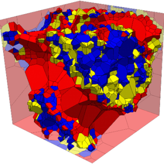
The focus in Geoinformatics lies in the systematical handling, processing and analysis of all available (geo-)data. This includes modelling and visualization methods for three dimensional structures, from micro to macro scale. We develop and implement mathematical methods, algorithms, data structures and software for manipulation, handling, analysis and visualization of all available data and models. Our main focus lies in:
- random fields and random geometries
- representation and handling of complex 3D geometries
- machine learning methods and their application in geosciences